How to Choose a Kayak Route for Spring Bird Migration
Spring migration can turn an ordinary paddle into a rewarding wildlife outing, but route choice affects both access and disturbance. I’ll show you how to connect seasonal rules, nesting areas, launch conditions, and viewing distance into a considerate plan.
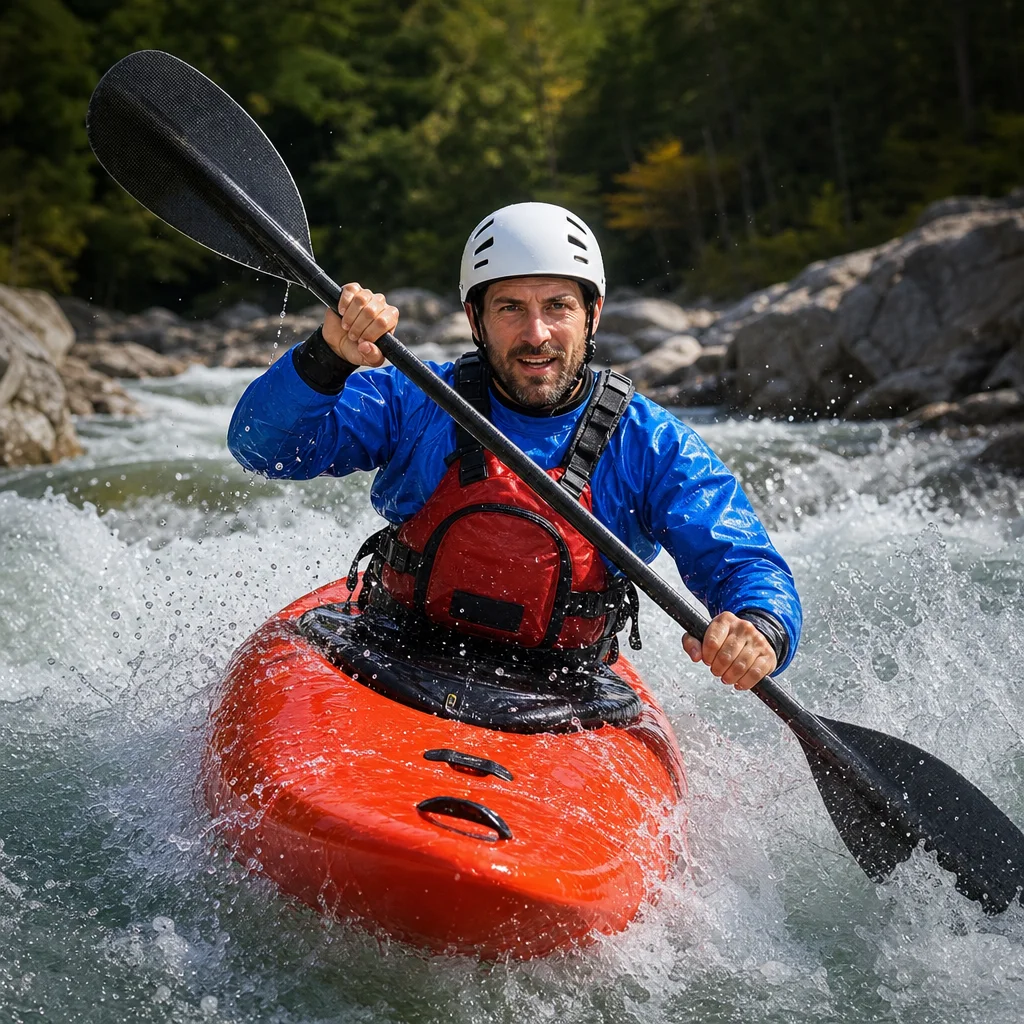
Spring migration brings more wildlife to the water, but it also creates a narrower margin for poor route choices. A quiet-looking shoreline may contain nesting birds, a familiar launch may have seasonal restrictions, and a route that feels easy in summer may be exposed or muddy in spring.
The goal isn’t to find the place with the most birds at any cost. It’s to choose a route that gives you reasonable viewing opportunities while keeping your kayak, noise, and landing activity away from sensitive areas. For a beginner or intermediate paddler, that usually means planning around four connected questions: Can you legally access the area? Is the launch usable? Which habitat should you avoid? How much distance can you maintain?
Start with the access rules
Before studying a map, identify who manages the water and shoreline. A route may pass through a municipal park, state or provincial land, a national wildlife refuge, private property, or a combination of jurisdictions. Each manager may set different rules for launches, landing, camping, seasonal closures, and wildlife viewing.
Look for current information on:
- Seasonal paddling or boating closures
- Closed beaches, islands, marshes, or shoreline sections
- Launch hours and parking restrictions
- Permit, reservation, or day-use requirements
- Restrictions on landing, walking through vegetation, or approaching wildlife
- Temporary closures caused by flooding, construction, fire, storms, or habitat protection
Don't assume that a route is open because you can see it on a map or because it was available last year. Migration and nesting protections can change by season, and access information may be posted separately from the park’s general webpage.
Check the route’s spring status: Before you commit to a launch, confirm the current closure notices, access hours, permits, and landing rules with the agency or land manager responsible for that specific shoreline. Save the relevant webpage or phone number in case conditions change.
If the route crosses an international, state, provincial, tribal, or local boundary, check each authority rather than treating the entire trip as one regulated area. A launch may be legal while a nearby island or backwater is closed.
Choose habitat that supports viewing without forcing close approaches
Migration routes often include several habitat types, and they don’t all present the same disturbance risk. Open water, broad channels, mudflats, marsh edges, wooded shorelines, and small islands can attract different birds at different times. They also vary in how easily birds can move away from you.
For a low-disturbance outing, favor routes with:
- A clearly marked paddling channel or established water trail
- Enough width to pass without hugging the shoreline
- Open sightlines that let you observe from a distance
- Several places to pause without blocking other boaters
- A way to turn around before reaching sensitive habitat
Be cautious around narrow coves, reed beds, low islands, gravel bars, and shoreline vegetation. These areas may look ideal for photography, but they can also be nesting, roosting, feeding, or resting sites. A route that repeatedly pushes birds from one bank to the other isn't a good wildlife-viewing route, even if you never touch land.
Avoid planning around a specific nest or colony. Nest locations can be difficult to identify from the water, and public reports can encourage too much traffic at a sensitive site. Instead, treat bird habitat as an area to observe from the outside.
Use the map to build a buffer
Mark sensitive shorelines, islands, and closed zones before you launch. Then draw a route that stays on the outer edge of the usable waterway rather than improvising close to shore.
Your map should also show:
- Narrow passages where turning may be difficult
- Exposed crossings with wind or boat traffic
- Alternate takeouts or safe turnaround points
- Bridges, dams, weirs, or other hazards
- Areas where vegetation could conceal a safe exit
- Likely paddling time in both directions
Mapping software is useful for orientation, but it may not show seasonal closures, shallow water, private boundaries, or newly fallen trees. Use it as a planning aid, not as proof that every visible shoreline is accessible.
Treat viewing distance as a route-planning decision
Distance isn't only a behavior you adjust after spotting a bird. It should influence the route you select in the first place. A wide river with room to pass on the opposite side may be more suitable than a narrow creek with better-looking habitat.
There is no single distance that works for every bird, habitat, or situation. The appropriate buffer depends on the species, the animal’s behavior, visibility, wind, current, and local guidance. Use the greatest practical distance, especially near nesting, roosting, or feeding areas.
Watch the birds rather than trying to reach a predetermined range. Signs that you’re too close can include:
- Repeated alarm calls or agitation
- Birds flushing, diving, or swimming away
- Adults leaving a nest or young behind
- A group repeatedly relocating as you approach
- A bird stopping its normal feeding or resting behavior
If a bird changes its behavior because of your approach, increase distance immediately. Paddle away slowly, avoid chasing it along the shoreline, and don’t wait for it to settle while you remain nearby. Binoculars or a camera with adequate optical reach are better tools than a closer route.
Confirm your wildlife buffer: Check the land manager’s current wildlife-viewing guidance and any species-specific restrictions for the area. If no local distance is given, plan conservatively and let the birds’ behavior tell you when to move farther away.
Keep your group quiet near habitat. Avoid playing audio to attract birds, calling across the water, or repeatedly passing a site for a better view. A single calm pass is usually less disruptive than circling back several times.
Evaluate the launch for spring conditions
A route can be environmentally appropriate and still be a poor spring trip if the launch is unsafe. Melting snow, heavy rain, and seasonal high water can change a shoreline quickly. Mud, slippery banks, floating debris, submerged vegetation, and stronger current may make a familiar access point difficult.
Before leaving home, look for recent information about:
- Water level and flow
- Flooding or fast current
- Launch surface and bank stability
- Dock or ramp condition
- Parking and road access
- Wind exposure at the launch and landing
- Debris or obstructions reported by local managers
Choose a launch where you can carry and unload the kayak without trampling shoreline vegetation. Stay on established paths and use designated ramps or put-ins where available. If the bank is eroded, flooded, or unstable, select another access point rather than creating a new trail.
A sheltered launch is helpful, but don’t judge the whole route by conditions at the parking area. Wind can build across open water, and a narrow channel may carry more current than expected. Study the return leg as carefully as the outbound leg; fatigue and changing weather matter more after several hours on the water.
Match the route to your paddling ability
For most wildlife outings, a short loop or out-and-back route is easier to manage than a long one-way trip. You can turn around when birds become unsettled, weather worsens, or the launch area feels busier than expected.
A suitable beginner-to-intermediate route generally has:
- Familiar water conditions and manageable boat traffic
- Limited exposure to wind and waves
- A clear bailout or turnaround option
- A launch that doesn’t require a difficult carry
- Enough time to return before light, weather, or access changes
Remember that birdwatching slows your progress. You may drift while observing, stop to take notes, or take a less direct line to avoid habitat. Estimate the route using a relaxed paddling speed, then add time for stops and a reserve for delays.
Avoid combining a new waterway, strong current, long crossing, uncertain launch, and wildlife photography on the same first visit. Reducing one or two variables makes it easier to respond when spring conditions don’t match the forecast.
Plan for weather, current, and other water users
Spring weather can shift quickly, and migration routes often run through open or lightly sheltered water. Check the forecast close to departure and compare it with the conditions you’ll encounter on the route, not just at home. Wind direction, gusts, temperature, rain, visibility, and thunderstorm potential all affect the decision.
Cold water deserves particular attention. Air temperatures can feel comfortable while immersion remains dangerous. Wear a properly fitted personal flotation device, dress for the water temperature, and carry communication and emergency equipment appropriate to the remoteness and conditions. Don’t let a good birding forecast override a poor cold-water or wind forecast.
Also consider motorized traffic, fishing activity, and busy launch periods. A route may be quiet at dawn but crowded later, or calm on a weekday and difficult on a weekend. Leave room for other boats, stay visible, and don’t stop in a channel or around a blind corner.
Build a simple route plan
Before the trip, write down a few decisions rather than relying on a general map:
- Primary launch: Confirm it is open, usable, and appropriate for your kayak.
- Wildlife-sensitive areas: Mark them and decide where you will remain outside the buffer.
- Turnaround point: Choose one before you encounter difficult conditions.
- Alternate plan: Identify a shorter route or different launch if the water, access, or crowding is unsuitable.
- Return deadline: Allow time for slower paddling, observation stops, and changing conditions.
- Communication plan: Tell someone where you’re going, when you expect to return, and what you’ll do if the route changes.
Bring a paper or offline map if service may be unreliable. A small pair of binoculars, dry storage for your phone, water, food, sun protection, and clothing suited to the conditions can make it easier to observe without extending the trip unnecessarily.
Common route-selection mistakes to avoid
Choosing the most crowded birding location
Popular sites can offer excellent viewing, but crowding increases noise, launch congestion, and the chance that several groups approach the same habitat. A less famous route with wider water and fewer visitors may be better for both you and the birds.
Assuming a water route means shoreline access
Paddling past a shoreline doesn't give you permission to land, walk, picnic, or explore. Keep private property and posted closures in your plan, and don’t use a beach or island as a rest stop unless landing is clearly allowed.
Following birds into narrow water
If birds move into a creek, cove, or marsh channel as you approach, don’t follow them to maintain a view. Turn back or continue along the main route.
Planning around ideal conditions only
A route that works in calm weather may become exposed in wind. Include a shorter option and decide in advance what conditions will make you cancel or turn around.
Using a fixed wildlife distance everywhere
A number copied from another location may not reflect local rules or the needs of the species you’re seeing. Use local guidance when available, stay farther away when uncertain, and respond to behavior rather than trying to meet a minimum distance.
A better spring migration route is usually the quieter route
Start with current access information, then use a map to identify sensitive habitat, launch limitations, exposed water, and realistic turnaround points. Choose a route that gives you space to observe without entering nesting or resting areas, and make the plan flexible enough to shorten when conditions or wildlife behavior call for it.
For your next outing, verify the launch and seasonal rules, mark a conservative wildlife buffer, check spring water and weather conditions, and share your route with someone at home. If the best viewing opportunity requires getting too close, let it go—the route has still succeeded when you return safely and leave the birds undisturbed.