How to Choose a Kayak Route With Reliable Cell Service
I’ll help you compare kayak routes by usable cell coverage, not just map colors, while building in offline navigation, emergency communication, and a realistic way off the water when service disappears.
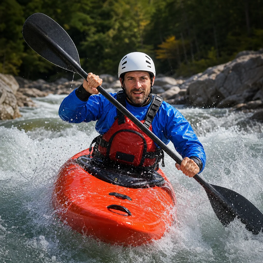
When you paddle alone in a remote part of the Mountain West, cell service can feel like a simple route filter: choose the lake or river with coverage and go. That approach misses the main problem. Coverage may be available at the launch but disappear in a canyon, behind a ridge, or several miles from the nearest road.
A safer plan treats cell service as one layer of your route decision. You also need offline navigation, a communication method that doesn't depend on a cell tower, and an exit plan you could use if the weather changes, your kayak is damaged, or you can't continue.
Start with the route, not the carrier map
Begin by identifying the actual sections you intend to paddle. A route that looks short on a map may include steep banks, private property, limited road access, or long stretches between possible exits.
For each section, note:
- Launch and takeout locations
- Public roads and parking areas
- Possible landing beaches or pullouts
- Canyons, narrow valleys, and forested sections
- Distances between reliable exits
- Nearby towns, ranger stations, marinas, or developed campgrounds
- Areas where a vehicle or responder could reach you
Then consider where you might realistically need to make a call. The answer isn't only “at the launch” or “at the takeout.” You may need service after a capsize, a medical problem, a broken paddle, a sudden storm, or a missed pickup.
A route with intermittent coverage but frequent public exits may be more manageable than one with strong service at both ends and no practical way to leave the water in between.
Check more than one coverage source
Carrier coverage maps are a useful starting point, but they are predictions rather than guarantees. Compare the map for your carrier with an independent coverage map, a topographic map, and recent local information when available.
Look for the following patterns:
- Coverage shown only along a highway may not extend to the shoreline.
- A broad color band may hide dead spots in narrow canyons.
- A reservoir may have service near the dam but not in its upper arms.
- A river corridor may alternate between exposed slopes and long shaded gaps.
- A map may show outdoor coverage without telling you whether data, text messaging, or voice calls will work reliably.
If another paddler, outfitter, marina, campground host, or land manager has current local knowledge, ask specific questions. “Is there service?” is less useful than “Where did you last make a call on the water?” and “Are there dead zones between the launch and the first exit?”
Verify your planned signal points: Check your carrier’s current coverage map, then ask a local source about known gaps along the exact shoreline, canyon, or river section. Confirm whether your phone uses the same network shown on the map, especially if you have a mobile virtual network operator.
Test the route’s real coverage before committing
Coverage at home doesn't tell you much about a remote route. If possible, make a short scouting visit or test a nearby section before attempting the full trip. Check your phone at the launch, along the shoreline, and at likely emergency exits.
Don't use one successful call as proof that the entire route is covered. Record where you had a dependable connection and whether you could complete a call, send a text, and load a small amount of data. Those functions can behave differently.
A simple route note might look like this:
| Location | Likely use | What to check |
|---|---|---|
| Launch | Tell someone you’re starting | Call and send a text |
| Mid-route high point | Emergency contact or update | Voice, text, and data |
| Planned exit | Pickup or change of plan | Reliable message or call |
| Takeout | Confirm arrival | Call or text from shore |
Your phone may also show a signal briefly from a ridge or exposed shoreline without offering a stable connection from the kayak. Marking dependable points is more useful than assuming coverage fills the spaces between them.
Account for terrain and water position
Mountain West terrain makes coverage especially difficult to predict. A phone may connect across an open reservoir but lose service as soon as you enter a narrow arm. On a river, a bend can place you behind a wall of rock even when the nearest town is only a few miles away.
Water position matters too. The shoreline, a nearby hill, and the center of a wide lake may have different signal conditions. You shouldn't plan on paddling offshore simply to find a signal unless the route and conditions make that safe.
Keep the following in mind:
- A higher point may improve reception, but reaching it could require a difficult landing.
- Walking uphill with a phone isn't an acceptable emergency plan if the bank is steep, unstable, or privately owned.
- A signal indicator can change quickly and may not mean a call will stay connected.
- Cold, wet, or damaged phones may fail even when a network is available.
Choose routes where the likely signal locations are also safe places to stop. A narrow ledge with coverage isn't a useful communication point if landing there risks a swim or a pinned kayak.
Build an offline navigation system
Reliable cell service should never be the reason you expect online maps to work. Download the route area before leaving home, including topographic maps and any relevant lake or river information. Confirm that the download covers the entire route, not just the launch and takeout.
Keep a second navigation option. Depending on the route, that could be a paper map in a waterproof case, a compass, or a dedicated GPS device with downloaded maps. Know how to use it before the trip; carrying equipment you can't operate doesn't create much redundancy.
Your offline information should show more than your intended line. Include:
- Access roads and trailheads
- Public and private land boundaries where relevant
- Campsites and developed facilities
- Tributaries, channels, and major bends
- Portage or carry-out possibilities
- Emergency exits and roads near the route
- Hazards identified by the managing agency or current local notices
Download maps to the phone you will actually carry. A screenshot on a second device can help, but it shouldn't be your only map if the image lacks scale, surrounding terrain, or route details.
Carry communication that doesn't depend on cell coverage
For remote solo paddling, a phone is usually a convenient communication tool, not a complete emergency system. A satellite messenger can support two-way messages and location sharing where satellite visibility is adequate. A personal locator beacon is designed primarily for emergency signaling and can be an appropriate choice for trips where rescue needs are the main concern.
The right device depends on your route, budget, subscription requirements, and willingness to maintain it. Whatever you choose, learn its limitations and test it before launch. Make sure it is charged, registered if required, paired with the correct phone, and stored where you can reach it after a capsize.
Don't bury your communication device in a dry bag at the bottom of the kayak. Protect it from water while keeping it accessible. A device that stays in the boat when you and the boat separate may not help much.
Confirm your backup before launch: Check the device’s current subscription or activation status, charging level, emergency-contact details, and operating instructions. Review the manufacturer’s guidance for signal conditions, message delivery, and location sharing rather than assuming every feature works like a cell phone.
A whistle and other basic signaling equipment still have value at close range. They don't replace a phone or satellite device, but simple tools can help attract attention when another person is nearby.
Make your check-in plan specific
Tell a trusted person where you are going, when you expect to launch, your planned route, your takeout, and the latest time they should hear from you. Include your vehicle description and plate information if appropriate, along with the names of anyone else in your group.
Avoid vague instructions such as “call for help if I’m late.” A delayed paddler may be slow because of wind, a difficult carry, or a harmless change in plan. Agree on what happens if you miss the check-in and how long the contact should wait before escalating.
Your plan should include a route map and the most likely emergency exits. If you change the route, update the person who is tracking your trip. A check-in system based on an old plan can create confusion rather than reduce it.
Compare routes using a coverage-and-exit scorecard
When two routes look similar, compare them using practical questions instead of relying on the most colorful coverage map:
- Where can you safely get off the water?
- How long is the longest section between usable exits?
- Where are the likely signal points?
- Is there a road or trail near those points?
- What happens if wind, heat, cold, or rising water slows you down?
- Can you navigate the route without internet access?
- Do you have a communication method that works beyond cell towers?
- Does someone on shore know the plan and the cutoff time?
A route becomes more attractive when its dead zones are short, its exits are realistic, and its offline navigation is straightforward. It becomes less attractive when service is uncertain, the shoreline is inaccessible, and a small problem could leave you far from help.
Avoid the most common planning mistakes
Mistake: choosing a route because the launch has service. Test or research the full corridor, including the return and takeout.
Mistake: treating a coverage map as a rescue guarantee. Maps don't account for your exact position, device condition, terrain, network congestion, or changing infrastructure.
Mistake: keeping the phone turned off in a sealed bag. Waterproof protection matters, but the phone must remain usable and reachable.
Mistake: relying on a single navigation app. Download maps and carry a backup that doesn't need a network or battery-powered phone.
Mistake: planning an exit that exists only on the map. Check access, land ownership, bank conditions, and whether you can reach a road from the water.
Mistake: assuming a satellite device removes the need for judgment. Messaging may be delayed, batteries can fail, and rescue access may still be difficult.
Practical next steps
Before your next remote paddle, mark the launch, takeout, likely dead zones, safe exits, and dependable communication points. Download the complete route area, test every device, and send a specific float plan to someone who will notice a missed check-in.
If coverage remains uncertain and the route has few safe exits, choose a shorter or more accessible alternative. Reliable cell service is helpful, but a route that gives you several workable options is safer than one that depends on a single signal bar.