How to Make a Kayak Trip Safer When You Have No Cell Service
I’ll help you build a reliable communication and contingency plan for a kayak trip beyond cell coverage, including route records, check-in procedures, local information, and non-cellular options that still work when conditions change.
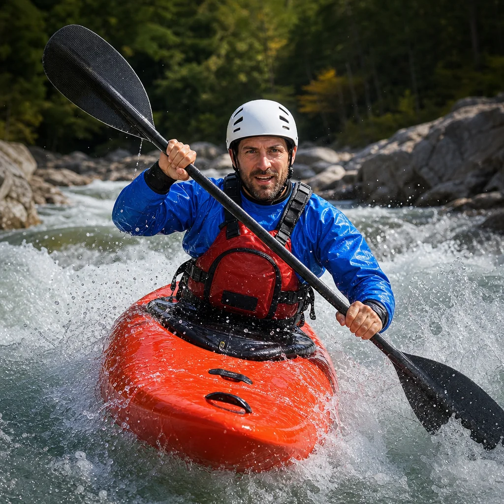
A remote kayak trip becomes much safer when your plan still works after your phone loses signal, your launch point changes, or you arrive later than expected. The goal isn’t to carry every possible device. It’s to create a dependable system that other people can understand and that you can maintain over time.
Start With a Route Plan Someone Else Can Use
Before launching, give a trusted person enough information to recognize a problem and take the right next step. “We’ll be somewhere on the lake this weekend” isn’t enough. Provide a route plan that describes where you expect to be, how you’ll travel, and where the plan could change.
Include:
- Launch and takeout locations, with alternate access points
- The planned route, campsites, portages, and likely rest stops
- Your intended launch and return times
- The number of paddlers and boats
- Vehicle descriptions and license plate numbers when appropriate
- Names and contact information for everyone in the group
- The equipment that affects rescue, such as satellite communicators, radios, or PLBs
- Known hazards, difficult crossings, exposed shorelines, and areas where landing may be difficult
- The point at which your group will stop, turn around, or use an alternate route
A map screenshot is useful, but it shouldn’t be the only record. Write down the route in plain language and include coordinates or clearly identifiable landmarks where possible. Save an offline copy on your phone, and carry a waterproof paper copy in case electronics fail.
If you’re paddling a long shoreline, describe the direction of travel and the sections you expect to complete on each day. A search becomes more focused when your contact knows that you planned to reach a particular bay or campsite rather than simply “continue around the lake.”
Set a Check-In Plan With a Clear Escalation Point
A check-in plan needs more than a time. It needs a response procedure.
Agree on:
- When you expect to launch
- When you expect to reach major points or campsites
- When you expect to finish
- How you’ll send updates
- How long your contact should wait if an update is missed
- Who they should call and what information they should provide
Use realistic times rather than optimistic ones. Wind, waves, navigation mistakes, loading delays, and an unexpectedly difficult landing can all make a trip take longer. If you set a return check-in too tightly, an ordinary delay may trigger an unnecessary response. If you set it too loosely, a real problem may go unnoticed.
Build in a staged response. For example, a trusted contact might first try your designated communication method, then contact another member of the group, then call a local authority or emergency service if the delay exceeds the agreed threshold and there’s reason to believe something is wrong.
Make sure that person understands the difference between “we’re late” and “we may need help.” Explain the messages or symbols you’ll use, and tell them not to assume that silence means everything is fine.
Confirm Your Check-In Route: Before leaving, verify the exact message method, delivery status, escalation times, and contact numbers you’ll use for this trip. Satellite service features, emergency-response procedures, and local contacts can change, so check the provider’s current instructions and the relevant land manager or rescue agency information.
Use Communication Tools as a System, Not a Single Solution
No communication device is useful if its battery is empty, it can’t see the required signal, or nobody knows how to operate it. Treat each tool as one part of a system.
Satellite messengers
A satellite messenger can support two-way messages, location sharing, tracking, and an SOS function, depending on the device and service plan. It may be a good fit when you want to send routine updates as well as request help.
Before the trip, confirm that:
- The device is activated and the subscription is current
- Your emergency contacts and profile information are up to date
- Your intended route has been tested with the device
- Your contact knows how messages from the device will appear
- You understand whether messages require a clear view of the sky
- You know how to cancel a false SOS and what happens after an SOS is sent
Send a test message from outside your normal coverage area if possible. A device that worked in your driveway may behave differently in a canyon, under dense forest, or beside steep rock walls.
Personal locator beacons
A personal locator beacon, or PLB, is designed primarily for emergency distress signaling rather than regular conversation. It can be a useful independent backup when you don’t need routine messaging but want a dedicated emergency device.
Learn how to deploy it before you need it. Keep it accessible on your person or in a location you can reach after a capsize. A beacon sealed deep inside a hatch may not help if you’re separated from your boat.
Marine and handheld radios
A marine VHF radio can be useful on coastal trips and waterways with an active boating community or monitoring service. Its usefulness depends heavily on local coverage, line of sight, channel practices, waterproofing, and battery life. A handheld radio generally won’t replace a satellite device in a remote inland area.
Check the rules and monitoring arrangements for the waterway you’ll use. Some channels and emergency procedures are intended for particular purposes, and requirements can vary by location and vessel type.
Phones and offline navigation
Your phone can still be valuable without cellular service. Download maps, keep route files available offline, and store important numbers in the device. Put the phone in a waterproof case and use battery-saving settings.
Don’t treat a phone’s GPS position as proof that you can communicate. Location services and cellular service are different functions. Your phone may show your position while being unable to send a message or call for help.
Maintain the Equipment Before It Becomes Emergency Equipment
Reliability comes from routine checks, not from buying the most expensive device. Use a simple maintenance routine before every remote trip.
Inspect waterproof cases, dry bags, battery compartments, charging cables, and attachment points. Look for cracked seals, corrosion, damaged cords, and closures that no longer feel secure. A dry bag can remain waterproof while its roll-top becomes difficult to close correctly, so test the entire closure rather than checking the fabric alone.
Charge every device fully and carry the charging equipment you actually need. Keep spare batteries or a power bank protected from water and cold. If you use a power bank, test it with the device before the trip; cables and connectors are common failure points.
Turn on each communication device, check its status, and confirm that it can transmit or acquire a position. Review the manufacturer’s current instructions for storage, charging, temperature limits, and waterproof ratings. A device’s rating applies under stated conditions and doesn’t make careless immersion or damaged seals safe.
Keep emergency equipment accessible. Divide routine navigation gear from rescue gear so that losing one dry bag doesn’t remove every backup. Attach critical items securely, but use attachment methods that allow you to release them if the boat overturns or becomes pinned.
After every trip, dry the equipment, inspect it again, and record problems while you still remember them. Replace worn seals and damaged cases instead of hoping they’ll last one more outing. Long-term reliability is mostly the result of noticing small failures early.
Ask Local People About the Gaps in Your Plan
Maps and forecasts don’t always show the practical problems you’ll encounter. Before launching, ask a local outfitter, park office, harbor operator, ranger, or experienced paddler about access, water levels, seasonal closures, dead zones, hazardous crossings, and the normal response time for help.
Ask specific questions:
- Where do paddlers usually land if the weather deteriorates?
- Which areas are difficult for a vehicle or rescue team to reach?
- Are there gates, closures, or access restrictions on the route?
- Is there a reliable place to get a weather update?
- Are there channels or local radio procedures that boaters use?
- Which parts of the route commonly prevent satellite messages from sending?
Local information doesn’t replace preparation, and advice can be outdated. Use it to identify assumptions that need checking, then confirm current conditions with the relevant land manager or authority.
Plan for the Most Likely Failures First
A strong contingency plan covers ordinary failures as well as dramatic emergencies. Decide what you’ll do if:
- The group is delayed by weather or a slow paddler
- A boat develops a leak or loses essential equipment
- A phone, messenger, or radio stops working
- You miss a planned campsite
- Someone becomes separated from the group
- A paddler is injured but can still move slowly
- Wind or waves make the planned crossing unsafe
- You reach the takeout after dark
For each situation, identify the safe stopping point, the equipment you’ll use, and the message you’ll send. Keep the plan simple enough to remember under stress. A written decision tree in your map case can help:
- Minor delay: Send an update and revise the expected return time.
- Route change: Send the new location and destination before proceeding.
- Equipment problem: Stop in a safe place, repair or stabilize it, and reassess.
- Immediate danger or serious injury: Use the emergency device, follow its instructions, and provide your location and condition as clearly as possible.
Don’t wait for a small problem to become an emergency before changing plans. Turning around early is often the most reliable contingency available.
Keep a Compact Trip Record
Carry a waterproof trip card with the information you’re most likely to need when tired or cold. Include the route summary, emergency contacts, vehicle details, check-in times, device instructions, and any relevant medical information that the group has agreed to share.
Your designated contact should have the same core information. Tell them when you’ll send a final “trip complete” message. Close the loop after you return, especially if you changed the route or missed a check-in.
Practical Next Steps
For your next no-service trip, make the plan concrete:
- Draw the route and mark alternate landings.
- Choose realistic check-in and escalation times.
- Test every communication device away from cellular coverage if possible.
- Give one reliable person the route, equipment, and vehicle details.
- Inspect cases, batteries, seals, and charging cables.
- Ask local sources about current access, hazards, and rescue limitations.
- Carry the plan offline and on paper.
- Reassess early when weather, equipment, or group condition changes.
Cell service is convenient, but it shouldn’t be the foundation of your safety plan. A maintained backup system, clear route information, and a trusted person who knows when to act can make a remote trip far more manageable.