Tides for Kayakers: What the Forecast Actually Tells You
Tide forecasts separate water height from the current that moves you along the coast. I’ll show you which numbers matter, how to read timing and slack water, and what a tide table can't tell you about your planned kayaking route.
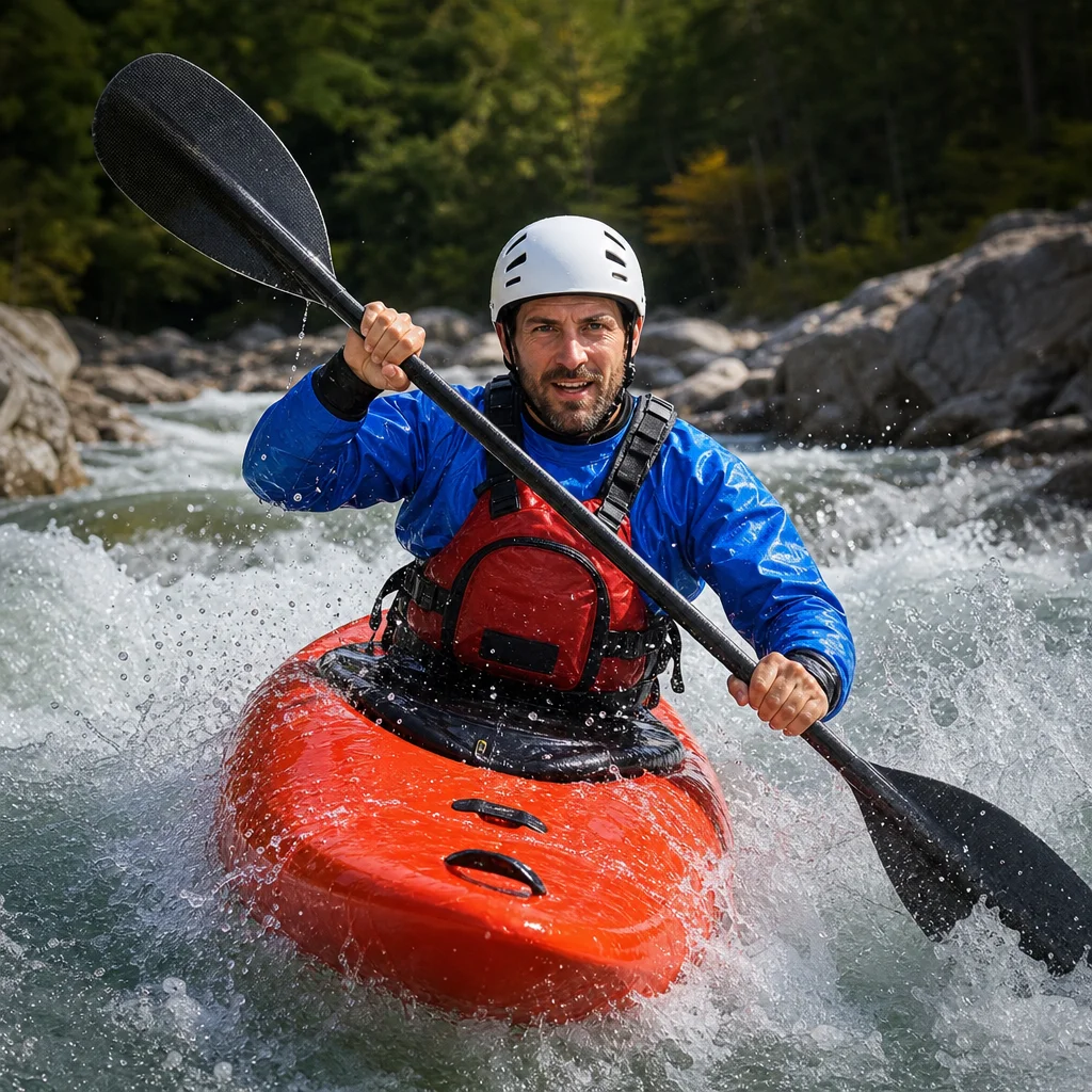
If you’re planning a coastal kayak trip, a tide table can look reassuringly precise while leaving out the detail that matters most: how the water will move along your route. Tide height, current strength, weather, local geography, and the timing of your crossing all affect the difficulty of a trip.
You don’t need to become a marine scientist to plan around tides. For most beginner outings, a small set of essentials is enough: identify the relevant tide station, understand the predicted water levels and times, check current information, and compare the forecast with your route and skill level.
What a tide forecast actually describes
A standard tide table usually predicts the timing and height of high and low water at a particular location. These predictions are based mainly on the regular gravitational effects of the moon and sun. They’re useful, but they’re not a complete description of conditions on the water.
A forecast may include:
- High-water and low-water times: The approximate times when water reaches a local maximum or minimum.
- Tide height: The predicted water level relative to a chart datum or other reference level.
- Tidal range: The difference between the predicted high and low water levels.
- Current information: The speed and direction of water movement, when the source provides it.
- Station information: The location, time zone, datum, and other details needed to interpret the prediction.
The first important distinction is simple: tide height tells you how high the water is; tidal current tells you how fast and in which direction it is moving. A high tide doesn't automatically mean easy paddling, and a low tide doesn't always mean strong current.
Tide height isn't the same as water depth
Tide height is measured from a reference level, not from the bottom of your kayak. A predicted height of a certain number doesn't mean there will be that much water beneath you at every point on your route.
Actual depth also depends on:
- The charted depth of the area
- Rocks, bars, ledges, and other underwater features
- The shape of a shallow inlet or tidal flat
- The accuracy and age of the chart data
- Wind and atmospheric pressure
- Local waves and boat wake
For route planning, use tide height to help interpret a chart or local shallow-water information. Don’t treat the number as a direct measurement of clearance under your hull.
This matters most in narrow channels, tidal creeks, and areas that become difficult or impossible to cross at lower water. A route that is comfortable at mid-tide may expose rocks, mud, or a sandbar later in the cycle.
What high and low tide times tell you
High and low tide times identify turning points in the predicted water level. Between low and high tide, the water is generally rising; between high and low tide, it is generally falling.
Those times can help you decide when to launch, cross a shallow area, or return through a narrow entrance. They don't, by themselves, tell you when the current will be strongest.
The water level changes slowly near the high and low points and more quickly between them. This is often described with the idea of a tidal curve: a gradual change near the turning points and a faster change through the middle portion of the cycle.
The exact shape of that curve varies by location. In some places, the strongest current occurs well before or after the listed high or low water time. That’s why a route planned around “high tide” can still involve a difficult current.
Tidal current is the part that moves your kayak
Tidal current is the horizontal movement of water caused by the tide. It can carry your kayak in the same direction as your route, push you sideways across it, or work against you on the return trip.
Current information may be presented in different ways:
- Direction: Usually the direction the water is flowing toward, though conventions can vary by source.
- Speed: Often shown in knots, where one knot equals one nautical mile per hour.
- Flood current: Water generally moving landward or into an estuary.
- Ebb current: Water generally moving seaward or out of an estuary.
- Slack water: A period when the current is relatively weak as it changes direction.
A modest current can make a noticeable difference to a recreational kayak, particularly when you’re tired, paddling into wind, or trying to hold a course near rocks. In a narrow passage, current speed can also increase because water is being forced through a smaller opening.
Why current may be stronger near your route
Tide stations are reference points, not universal readings for an entire coastline. Current can behave differently around:
- Headlands and points
- Inlets and harbor entrances
- Bridges and narrow channels
- Islands and reefs
- Estuary mouths
- Areas with strong eddies or backwaters
An official current prediction for a nearby station is more useful than guessing from a tide-height table, but it still may not describe every bend in your route. Local charts, navigation guidance, and experience from a reputable local paddling source can fill in some of that gap.
Slack water is useful, but not a guaranteed pause
Slack water is the period when tidal current is at or near a minimum before reversing direction. It can be a useful planning window for crossing a current-prone area, especially for beginners.
However, slack water isn't always a perfectly still period. Local wind, river flow, waves, eddies, and the shape of the shoreline can keep water moving. The duration may also be brief or difficult to identify precisely from a general forecast.
Treat slack water as a lower-current window, not as a promise of calm conditions. If your route depends on crossing a channel safely, allow margin rather than arriving at the predicted minute.
Why a tide table alone may not answer your route-planning question
A tide table may tell you that high water is at a certain time and has a certain predicted height. It may not tell you:
- Whether the current will help or oppose your outbound leg
- How strong the current will be at a particular crossing
- Whether wind will raise or lower the actual water level
- Whether a shallow area will have enough clearance for your kayak
- Whether waves will build where current meets wind
- Whether a local inlet runs earlier or later than the reference station
- Whether your return trip will occur against a strengthening current
This is why route planning starts with the question, “What will the water be doing where I’m going?” rather than, “What time is high tide?”
Check the conditions for your exact crossing: Before launching, compare a local tide prediction with current information, wind, waves, and any official coastal advisories for the area. Confirm the source’s time zone, datum, and direction convention, and allow enough time to return before conditions become less favorable.
Forecasts are predictions, not observations. Strong or prolonged wind and changes in atmospheric pressure can make actual water levels differ from predicted tide heights. Recent rainfall and river discharge can also affect flow in estuaries and tidal rivers. Conditions requiring current verification include local regulations, access restrictions, advisories, and any safety limits published for the launch site.
A minimalist tide-planning method
For a beginner coastal trip, you can use this simple process without collecting every available data point.
1. Mark the route’s problem areas
Look for the sections most affected by moving water or changing depth:
- Narrow entrances
- Open-water crossings
- Shallow flats
- Exposed headlands
- Channels with limited landing options
- Places where you must turn around by a specific time
These locations deserve more attention than a sheltered shoreline where you can easily stop.
2. Find the closest relevant tide and current stations
Use a reliable marine forecast or official navigation source and identify whether its station is actually representative of your route. A tide-height station and a current station may be separate.
Read the station notes. Pay attention to the reference location, time zone, daylight-saving adjustment, and chart datum. A correct number from the wrong station can still lead to a poor decision.
3. Decide which direction you want the current to run
For a simple out-and-back trip, many paddlers prefer to travel against a manageable current on the way out and return with it. That approach can reduce the risk of becoming tired while trying to make progress toward the launch point.
It isn’t a universal rule. Wind, waves, traffic, landing options, and the strength of the current may make another plan safer. The key is to decide deliberately rather than discovering the direction of the current after you’ve committed to the route.
4. Build in a turnaround time
Choose a point in the trip when you will turn back, even if you haven’t reached your destination. Base that decision on time, energy, weather, current, and the availability of safe landing places.
A tide window should never be so tight that a small delay, pause, or navigation error turns the return into a race.
5. Compare the forecast with what you see
At the launch, look for signs that conditions differ from the prediction:
- Water moving faster than expected
- Foam or debris showing a strong flow
- Wind opposing the current and creating short, steep waves
- Unusual water levels at ramps or beaches
- Waves breaking over areas shown as relatively sheltered
If the conditions don’t match your plan, shorten the route or postpone it. A forecast is one input to a decision, not a reason to continue when the water looks wrong.
A short example of reading the numbers
Suppose a tide table shows low water in the morning and high water around midday. That tells you the water level is predicted to rise through the morning, but it doesn't tell you whether the current along your route will help you, when it will be strongest, or whether a nearby inlet follows the same timing.
To use that information, you would also check the current prediction for the inlet or channel, note the direction of flow, and identify the time when you need to pass through. Then you’d compare the plan with wind and wave conditions and make sure the return occurs before the current, weather, or your fatigue becomes a problem.
The tide table supplies the framework. The route, current, weather, and your own abilities determine whether the trip is sensible.
Practical next steps
Before your next coastal paddle:
- Identify the tide station and current station nearest to the route.
- Confirm the forecast’s time zone and measurement reference.
- Mark shallow areas, narrow channels, and exposed crossings on your chart.
- Note the predicted current direction and speed during your planned travel window.
- Check wind, waves, and official local advisories on the day.
- Set a turnaround time with a comfortable margin.
- Start with a sheltered route where you can observe how the forecast relates to the water.
For minimalist planning, remember the essentials: height tells you about water level, current tells you about movement, slack describes a lower-current period, and the tide table doesn't replace a route-specific weather and navigation check.