Kayaking on a Reservoir: What Changes After Water Levels Rise or Fall
A rising reservoir can reopen shoreline access while a falling one exposes hazards and complicates launches. I’ll help you adjust route planning, gear, and safety checks for submerged structures, changing shorelines, and local operating restrictions.
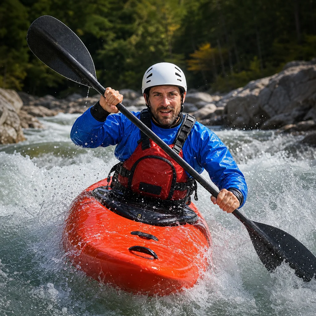
Reservoir levels can change the character of a familiar paddling area faster than a normal lake shoreline does. A rise may cover a convenient beach, fence, trail, or old obstruction; a drop may leave your usual launch far from the water and expose rocks, mud, stumps, or structures that were previously hidden.
The key is to treat the reservoir level as part of the route, not as a minor detail. Your launch, landing options, hazards, and even permitted areas may change with the water elevation.
Start with the current water level and operating information
A reservoir’s level may respond to rainfall, snowmelt, irrigation demand, hydropower operations, flood control, or seasonal management. The number itself matters less than how it compares with the level shown on your map, launch information, or previous trip notes.
Before leaving, check:
- The latest reservoir elevation or level trend
- Whether the level is rising, falling, or relatively stable
- Which access points are open and usable at the current level
- Any posted boating, paddling, fishing, or shoreline restrictions
- Warnings about currents, releases, debris, closures, or construction
- The forecast for wind and weather, not just precipitation
A slowly changing level gives you more time to adapt. A rapidly changing level can make yesterday’s assumptions unreliable, particularly near dams, control structures, narrow channels, and inflowing creeks.
Confirm today’s reservoir conditions: Before you choose a launch or route, check the managing agency, park, utility, or access operator for the current level, closures, release information, and restrictions. Confirm that the information applies to your specific reservoir section rather than to a nearby lake or downstream gauge.
What changes when the water rises
Higher water can make a launch look easier while creating hazards that are harder to see. Water may cover low banks, brush, fences, old roads, stumps, riprap, and shallow shelves. A shoreline that was easy to inspect at a lower level may become a continuous line of vegetation or steep bank.
Launches and landings may move inland
A familiar gravel beach might disappear under water. At a gradual slope, you may still be able to launch from the new edge, but the surface could be soft, uneven, or concealed by vegetation. At a steeper shore, the water may reach a bank that is difficult to climb back onto.
Look for a launch with:
- Firm footing above and below the waterline
- Enough room to carry and turn your kayak
- A safe place to leave a vehicle without blocking others
- A landing area that remains usable if wind pushes you along the shore
- A route back to the vehicle that doesn't depend on a slippery bank
Avoid assuming that a road, trail, or shoreline parcel remains publicly accessible just because water now reaches it. Rising water can blur the boundary between the reservoir and private or restricted land.
Hidden objects become more important
Higher water may float loose logs and branches away from the original shoreline. It can also cover fixed objects. Give extra attention to narrow coves, flooded timber, old fence lines, and areas around former roads or buildings.
Don't rely on a depth finder or map alone to identify every obstruction. Small submerged objects may not appear clearly, and a charted feature may not reflect current conditions. Keep your speed modest in unfamiliar water so you have time to turn or stop.
Shoreline navigation can become less obvious
When the water rises, recognizable points such as exposed rock, low saddles, and small beaches may disappear. A cove can look like a passage, while a flooded side channel may end in shallow brush.
Use a map, compass, or navigation app before leaving the launch. Mark your intended return route and identify more than one exit point. If you are paddling in a group, agree on what you will do if visibility drops or someone separates from the group.
What changes when the water falls
Falling water usually exposes more hazards and makes access more difficult. It can also create a misleading impression that the reservoir is easier to understand because more of the bottom is visible. Newly exposed terrain may be unstable, muddy, sharp, or restricted.
Your normal launch may no longer be practical
A launch designed for a particular elevation may leave you with a long carry over mud or uneven ground. A boat ramp may end above the water, and a dock may no longer float at a useful height. The route from the parking area to the water can become the hardest part of the outing.
Inspect the entire carry before unloading. A short trip from the vehicle to the water is preferable to a difficult descent that you may have to climb while carrying a wet kayak. If the shoreline is muddy, consider how you will regain firm footing after paddling. Mud that holds your boot at the launch can be more difficult after it has been churned by repeated use.
A low water level isn't a reason to drag your kayak over abrasive rock or concrete. Use a cart where the surface allows it, lift with a partner when appropriate, and protect the hull from repeated scraping. Check the manufacturer’s guidance for your kayak before using a drag technique.
Exposed hazards can extend below the new shoreline
Falling water may reveal stumps, boulders, old foundations, retaining walls, rebar, pipes, cables, and other structures. Some hazards remain partly submerged and may be difficult to see from a sitting position.
Old roads and stream channels deserve particular caution. They may create shallow strips, trenches, or uneven crossings. A route that appears open from a distance may end in a mudflat or a band of exposed debris.
Don't walk over unfamiliar exposed structures simply because they are above water. They may be unstable, slippery, or contaminated with sharp material. Stay on established access routes where possible and follow posted closures.
Moving water may become more noticeable
As levels fall, flow through narrow areas can become more concentrated. Inflows, outlets, culverts, and constricted channels may have stronger or less predictable movement than the open reservoir. Water released for power generation or downstream needs can also change conditions near control structures.
Treat moving water near a dam, outlet, spillway, intake, or narrow channel as a separate hazard from ordinary flatwater paddling. Keep well clear of restricted or signed areas, and never use a structure’s apparent calm surface as a reason to approach it.
Plan differently around structures and restricted areas
Reservoirs often contain infrastructure that isn't obvious from a recreational map. Dams, intake towers, buoy lines, cables, boat barriers, pump stations, and maintenance roads may be located away from the main access area.
Your route plan should identify these areas before you launch. Pay attention to:
- Buoys, signs, fencing, booms, and marked exclusion zones
- Dams and spillways, including areas upstream and downstream
- Water intakes, outlet works, and power-generation equipment
- Narrow channels that connect separate reservoir sections
- Shoreline areas closed for maintenance, wildlife protection, or safety
The exact distances and rules vary by site. Don't substitute a general boating habit for the local requirement. If a map, sign, or official notice is unclear, ask the managing authority before paddling into that area.
Adjust your equipment and clothing
Water-level changes don't automatically make a trip more technical, but they can increase the consequences of a simple mistake. Carry equipment that supports a longer return, an awkward landing, or a change in route.
Useful preparations include:
- A properly fitted personal flotation device worn while paddling
- A communication device protected from water
- A map or navigation method that works without mobile coverage
- Water, food, and an extra insulating layer
- A whistle or other signaling device
- A small first-aid kit and basic repair supplies
- A kayak cart if the current access requires a long carry
- Gloves or footwear suited to rough, muddy, or sharp ground
Dress for the water temperature and the possibility of an unplanned swim, not only for the air temperature at the launch. A falling reservoir may have exposed a convenient landing, but that doesn't make the water warmer or the return journey easier.
Build a route with escape options
A level change can turn a planned loop into an out-and-back. Before launching, identify landing areas at sensible intervals and note which ones are actually accessible from the water. A visible patch of shore may be private, steep, muddy, fenced, or separated from a road by dense vegetation.
Keep the first outing after a major level change conservative. Paddle close enough to a usable shoreline for a controlled landing, but not so close that hidden rocks, branches, or private property leave you no room to maneuver. Leave yourself an easy option to turn around before entering a narrow cove or unfamiliar arm.
Wind deserves extra weight in the decision. A changed shoreline may remove the shelter you remember, and a broad newly flooded area can provide more distance for waves to build. If the return leg would be difficult against the forecast wind, shorten the route before you launch.
A practical decision checklist
Use these questions before putting the kayak on the water:
- Is the current level different enough to change my launch, landing, or route?
- Have I confirmed access and restrictions for this specific reservoir area?
- Do I know where dams, intakes, outlets, barriers, and other structures are located?
- Are newly exposed or newly flooded hazards likely along my route?
- Can I reach a safe landing if the wind rises or someone needs to get off the water?
- Is my clothing suitable for the water temperature and an unplanned swim?
- Can I carry the kayak safely over the current shoreline surface?
- Does everyone in the group understand the turnaround point and emergency plan?
If several answers are uncertain, choose a shorter route or postpone the trip until you can verify the conditions. Reservoir paddling becomes much more manageable when you plan for the shoreline you will actually find—not the one you remember from a different water level.
For your next outing, check the level trend, contact the local manager if access information is unclear, and inspect the launch before unloading. Then keep the first route modest, stay well away from operating infrastructure, and record what changed so your next plan is based on current conditions rather than guesswork.