How to Use a Map and Compass When Your Phone Loses Signal
I’ll clarify how to switch from phone-based navigation to a paper map and compass when you’re paddling beyond signal coverage. You’ll learn how to orient the map, confirm landmarks, track progress, and set a reliable bearing home.
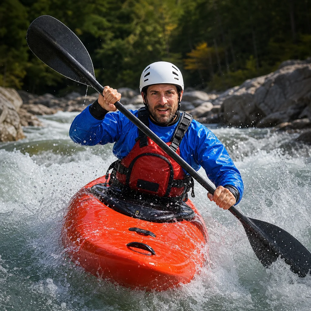
Losing phone service on the water can turn a familiar route into an uncertain one, especially when shorelines look similar or fog reduces visibility. A paper map and compass give you a dependable backup, but only if you know how to use them before you need them.
The goal isn’t to navigate every stretch by precise compass bearing. It’s to make sensible decisions: establish where you are, identify a safe destination, use visible features to confirm your position, and keep enough information to retrace your route.
Pack a navigation system, not just two loose items
Carry a waterproof map that covers the entire area, not only the launch site. A map in a clear waterproof case is easier to read than a folded sheet exposed to spray. Mark the launch point, planned route, likely rest stops, alternate landing areas, and hazards before leaving shore.
Use a basic magnetic compass with a rotating bezel, a direction-of-travel arrow, and a transparent baseplate. A compass with a straight edge is especially useful because you can use it to draw or follow lines on the map. A small button compass can help as an emergency backup, but it’s less convenient for taking map bearings.
Keep the map and compass where you can reach them without leaving your kayak unstable. On a sit-inside kayak, a deck-mounted map case can work well. On a sit-on-top, secure the case so wind or a capsize can’t separate it from the boat.
Your phone can still be useful for planning and recording a track, but don’t make it your only navigation tool. Downloaded maps, battery-saving settings, and a waterproof case improve its usefulness; none removes the need for a paper backup in a remote area.
Check local navigation conditions: Before launching, confirm current closures, restricted areas, chart or map updates, and local hazards with the land manager, harbor authority, or other official source. Conditions and access rules can change even when your paper map is still accurate enough for basic orientation.
Understand the map before you need it
Take a few minutes at the launch to identify what the map is showing. Find north, the map scale, contour lines, water depths if provided, marked channels, islands, points, coves, cliffs, roads, and prominent buildings.
A map’s scale tells you how much real distance is represented by a given map distance. On a large-scale map, a short measurement may represent a considerable distance on the water. Use the scale bar rather than estimating from the size of a printed grid.
Look for features that are easy to recognize from a kayak. A long peninsula, isolated island, bridge, high bluff, prominent tower, or sharp change in shoreline is more useful than a minor cove that may be hidden by trees. In coastal areas, distinguish natural landmarks from navigation marks and understand that buoys may move, disappear, or be difficult to see in poor weather.
If the map uses contour lines on land, closer lines generally indicate steeper terrain. A high, distinctive hill or ridge can be a valuable landmark when it is visible, but low shorelines may offer few reliable features. On a remote lake, the shape of an island or the angle between two bays may be more useful than elevation.
Orient the map to the landscape
Orienting a map means turning it so the directions on the paper match the real world. Once it is oriented, a feature shown to your right on the map should be to your right in reality, assuming you’re facing the same direction as the map’s top edge.
Follow these steps:
- Move away from metal objects, electronics, and strong magnetic sources that could affect the compass.
- Place the map flat, or as flat as practical, and identify its north arrow or grid lines.
- Put the compass on the map with the direction-of-travel arrow pointing toward the map’s top, or true north.
- Turn the map and compass together until the compass needle aligns with the north marking on the compass housing.
- Compare the map with the shoreline and visible landmarks. The arrangement should now make sense.
This basic method works when the map’s north reference and your compass setting are compatible. Some maps use true north, while the magnetic needle points toward magnetic north. The difference between them is called magnetic declination, and it varies by location and changes over time.
For short trips with obvious shorelines, declination may not create a noticeable problem. For longer crossings or precise bearings, use the declination printed on the map or supplied by the mapmaker. Set the compass’s adjustable declination if it has that feature, or account for the difference according to the compass and map instructions. Don’t guess whether to add or subtract; the correct adjustment depends on the map, location, and compass design.
Confirm your position with landmarks
A compass can tell you direction, but it can’t identify your location by itself. Use the map and the landscape together.
Start with a feature you can identify confidently, such as an island, point, bridge, or distinctive hill. Find that feature on the map, then compare its position with your surroundings. Ask simple questions:
- Is the shoreline shape ahead consistent with the map?
- Is the feature on your left or right as expected?
- Does the next bend, island, or inlet appear at the expected angle?
- Have you passed a feature you intended to use as a checkpoint?
Two or more lines of evidence are stronger than one. For example, a point on your right and an island ahead may together confirm your position more reliably than either feature alone.
If you’re unsure, stop paddling and avoid making a guess while moving. Mark your last known position on the map, note your approximate heading and time, and look for another identifiable feature. Continuing in the wrong direction makes the problem harder to solve.
Use landmarks to track progress
Break the route into short legs rather than trying to remember one long journey. A leg might run from the launch to a point, from that point to an island, and from the island to a sheltered cove.
Before each leg, identify:
- Your starting feature
- Your destination feature
- The general direction of travel
- A distance estimate from the map scale
- A backup destination if conditions change
As you paddle, compare your progress with the plan. Notice when you pass each checkpoint and record the time if practical. Time alone is an imperfect distance measure because wind, current, waves, and fatigue change your speed, but it helps reveal when a leg is taking longer than expected.
On a featureless shoreline, use bearing and estimated distance more heavily. On a complex shoreline, use the land shape and sequence of features. A good navigator combines both instead of treating the compass as more precise than the conditions allow.
Take a bearing to a visible landmark
A bearing is a direction expressed as an angle around the compass, usually from 0 to 360 degrees. North is 0 or 360 degrees, east is 90, south is 180, and west is 270.
To take a bearing from your position to a visible feature:
- Hold the compass level and point the direction-of-travel arrow at the feature.
- Rotate the compass housing until the orienting lines are aligned with the compass needle, with the housing’s north matching the needle’s north.
- Read the bearing at the index mark.
- Write down the bearing and the landmark’s name or description.
Keep the compass level. Tilting it can cause the needle to drag or give an unstable reading. Take the reading from a steady position rather than while your kayak is pitching in waves.
To follow that bearing, hold the compass so the direction-of-travel arrow points ahead. Turn your body and kayak until the needle sits within the orienting arrow. Then choose a visible object along that line and paddle toward it. Recheck the compass regularly rather than staring at it continuously.
Set a return bearing before leaving a point
A return bearing helps you reverse direction when you need to go back. The simple rule is:
- If the outbound bearing is less than 180 degrees, add 180.
- If the outbound bearing is 180 degrees or more, subtract 180.
For example, an outbound bearing of 070 degrees has a return bearing of 250 degrees. An outbound bearing of 240 degrees has a return bearing of 060 degrees.
Write the return bearing down before departing. Also record the destination, the starting landmark, and any expected intermediate features. If you’re navigating along a shoreline, the return route may not be a precise reverse of the outbound route because wind, waves, current, or a one-way passage can change the safest line.
Account for wind, waves, and current
A compass bearing describes direction, not the exact path your kayak will travel. Crosswinds can push you sideways, and current can move you along or away from your intended track. If you aim directly at a distant destination, you may arrive downwind or downstream of it.
Use frequent visual checks. If the destination is drifting to one side of your intended line, adjust gradually while keeping your overall route and safety margin in mind. On open coastal water, avoid treating a compass bearing as permission to make a long crossing in deteriorating conditions.
A visible shoreline is usually easier to use than a blind crossing. If weather worsens, choose a safe landing or sheltered route from the map rather than continuing toward the original destination simply because it was your plan.
If you become uncertain
Stop, stabilize the kayak, and assess the situation before making another move. Check the map’s orientation, compass setting, last confirmed landmark, approximate time, and likely effects of wind or current. Try to identify your position from multiple features.
If you can’t establish where you are, don’t travel farther just to see what appears ahead. Retrace your last confirmed leg if you can do so safely, or move toward a known safe shoreline while conserving energy and communication battery. Follow your trip plan for contacting help, and use emergency equipment when the situation exceeds your ability to resolve it.
Practical next steps
Before your next remote-lake or coastal trip, practice on land and then in calm, familiar water. Orient the map, take a bearing to a visible feature, follow a short leg, and calculate the return bearing. Repeat the exercise without using your phone.
For each outing, mark the launch, planned checkpoints, alternate landings, and return bearings. Keep the map protected, the compass accessible, and your route simple enough to verify as you go. Navigation becomes much less stressful when you’re confirming your position continuously instead of waiting until you’re lost.