How to Use a Kayak Deck Compass Without Losing Your Bearing
When shoreline features disappear in haze or open water, a deck compass can keep your route organized—but only if you use it consistently. I’ll explain setup, heading checks, landmarks, and recovery steps without overcomplicating navigation.
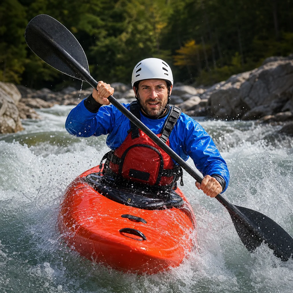
A deck compass is most useful when you treat it as a reference for a planned course, not as a device that automatically leads you home. On a large lake or along an unfamiliar coast, a few degrees of steering error can gradually move you away from your intended line—especially when wind, waves, and current are also pushing the kayak.
The solution is a repeatable routine: set up the compass correctly, choose a heading, check that heading against the surroundings, and know what to do when the view no longer matches the plan.
Understand what the compass is telling you
A kayak deck compass points toward magnetic north. Your chart, map, phone, or GPS may display directions using true north or magnetic north, depending on its settings. The difference between those two references is called magnetic declination, and it changes by location and over time.
For short recreational trips close to a clearly visible shoreline, you may be able to use the compass as a general directional aid. For longer crossings or routes where being off course matters, you need to account for declination and use a chart or navigation app configured for the same reference as your compass.
A compass heading is usually expressed as a bearing from 0 to 360 degrees:
- 000° or 360° is north.
- 090° is east.
- 180° is south.
- 270° is west.
You don’t need to memorize every number. You do need to understand that 100° is slightly south of east, while 260° is slightly south of west. That distinction becomes useful when you’re comparing a planned course with a landmark or shoreline angle.
Check your local reference: Before planning a crossing, confirm the area’s magnetic declination and whether your chart or navigation app uses true or magnetic bearings. Also check current marine conditions, access restrictions, and local safety guidance, since these details can change.
Set up the deck compass before launching
A deck compass should be mounted where you can read it without turning your torso or taking your paddle hand far from its normal position. The compass needs to stay roughly aligned with the kayak’s centerline. If it points diagonally across the deck, the displayed heading won’t represent the direction your kayak is traveling.
Follow the compass manufacturer’s mounting instructions, particularly for adhesive pads, screws, and any shock-absorbing base. The compass should be secure enough that it doesn’t shift when the kayak leans or crosses small waves.
Keep magnetic interference away from the compass. Common sources include phones, speakers, cameras with magnetic mounts, metal tools, spare batteries with magnetic closures, and some kayak hardware. Don’t assume that an item is harmless because it’s small. Hold it near the compass while the kayak is stationary and watch for a noticeable change in the reading. Then store interfering items elsewhere.
Inspect the compass before each outing. Look for a cracked housing, leaking fluid, a loose mounting base, or a card that sticks instead of moving smoothly. Bubbles in the capsule aren’t always a failure, but a large bubble, a sluggish card, or a reading that changes unpredictably is a reason to use another navigation method rather than relying on guesswork.
Choose a heading and write it down
Before leaving a launch point, identify where you’re going and how you’ll recognize the destination. Then choose a bearing from a chart, map, or known landmark. Write the bearing somewhere you can see it, such as on a waterproof note attached to the deck or on a small deck-mounted clipboard.
For example, your plan might be:
- Paddle approximately 075° from the launch point to a headland.
- Follow the shoreline until you reach a marked cove.
- Return on the reciprocal bearing, approximately 255°, if conditions and the route allow it.
A reciprocal bearing is the opposite direction. To calculate it, add 180° when the original bearing is less than 180°, or subtract 180° when it is 180° or greater. This gives you a starting point for the return, not a guarantee that the same line is safe or practical in changing conditions.
If you’re using a chart, mark intermediate checkpoints rather than relying on one long bearing. A crossing divided into manageable legs is easier to monitor and easier to abandon if wind or visibility changes.
Steer by the compass, not toward the compass
A deck compass is mounted to the kayak, so it shows the kayak’s direction. Keep the kayak’s centerline aligned with the desired bearing and make small steering corrections. Don’t stare at the compass continuously. Glance at it, correct your course, and then look up to scan for traffic, waves, hazards, and landmarks.
Paddling on one side for too long can turn the kayak away from the planned heading. Wind can also push the bow off course, while a current can move the entire kayak sideways even when the bow appears to point correctly. In those conditions, you may need to hold a slightly different compass heading to maintain the desired track over the bottom.
The important distinction is:
- Heading: where the bow is pointing.
- Track: the path the kayak is actually following across the water.
You can have a correct heading and still miss your destination because of drift. Repeatedly compare the compass with your position relative to shore or a map. If your track is moving downwind or downstream, adjust gradually rather than making a large, sudden turn.
Use landmarks as cross-checks
Even on a featureless lake, the shoreline usually offers more information than it first appears to. Look for headlands, islands, towers, cliffs, beaches, tree lines, docks, and changes in shoreline direction. A distant feature can confirm that your compass heading makes sense, but it shouldn’t replace the compass.
Choose landmarks that are easy to distinguish from nearby features. A low, dark point of land may be difficult to identify in haze, while a prominent island or shoreline bend is more dependable. Confirm the landmark from at least two clues—for example, its shape and its position relative to another shoreline feature.
If you’re following a coast, keep checking the relationship between the kayak and the shoreline. If the shore is supposed to remain on your left but begins moving steadily farther away, you may be drifting offshore. If it grows closer than planned, wind or current may be pushing you toward hazards or shallow water.
When visibility is good, look behind you as well as ahead. The return view can be surprisingly different, and the feature that seemed obvious from the launch point may be hidden when you’re coming back.
Build a routine for open-water checks
On a crossing with few visual references, check your heading at regular intervals rather than only when something feels wrong. A useful routine is:
- Look ahead and assess waves, traffic, and hazards.
- Glance at the compass and compare the reading with your planned bearing.
- Check your position against the map, shoreline angle, or known time-and-distance estimate.
- Correct the course with a few controlled strokes.
- Repeat after conditions change or after you finish a longer paddle break.
Keep the checks brief. Fixating on the compass can cause you to miss a powerboat, floating debris, breaking waves, or a navigation marker. Navigation is one part of paddling, not a reason to stop maintaining situational awareness.
A time estimate can also reveal a problem. If a crossing that normally takes 30 minutes has taken much longer, don’t simply continue because the destination must be close. Stop, reassess your position, and consider whether wind, current, fatigue, or an incorrect initial bearing is responsible.
Recover when you lose your bearing
If you realize you’re unsure of your direction, stop paddling hard. Continuing while uncertain makes the error larger and increases fatigue. Stabilize the kayak, check the compass, and identify the last point at which you were confident about your position.
Then work through these questions:
- What was your planned bearing?
- What does the compass show now?
- Which way are the wind and waves moving you?
- Can you identify any shoreline feature or marker?
- How much daylight, energy, and weather margin do you have?
If you can identify your position, choose the safest known destination—not necessarily the original destination. That could be the nearest suitable shoreline, a sheltered cove, or the launch point, depending on hazards and conditions. Use a reciprocal bearing only after checking that the route remains appropriate.
If you can’t establish your position, avoid making a long blind crossing based on a guess. Stay with the kayak, conserve energy, and use your communication and emergency equipment according to your trip plan. A compass helps you make a reasoned decision, but it can’t tell you whether a particular shoreline is safe to land on.
Common deck-compass mistakes
Mounting it off-center
A compass mounted at an angle can create a constant error. Align it with the kayak’s centerline and verify the reading against a known direction before depending on it.
Carrying a separate magnetic object nearby
A phone, metal accessory, or magnetic case can distort the compass. Keep potentially magnetic items away from the compass and test the setup with your normal gear in place.
Steering by one glance
A single compass reading doesn’t show whether you’ve maintained the course. Use repeated checks and small corrections.
Ignoring drift
Pointing at the destination isn’t the same as traveling toward it. Watch your track relative to shore and adjust for wind or current.
Waiting until you’re already lost
Check the compass while you still recognize the surroundings. Early corrections are simpler than recovery after landmarks disappear.
Practical next steps
Before your next outing, mount or inspect the compass, remove nearby magnetic items, and practice holding a simple bearing on calm water. Plan a short route with two or three recognizable checkpoints, record the intended headings, and deliberately compare the compass with your track.
For a longer lake crossing or coastal trip, add a chart or navigation app, a waterproof written plan, a reliable communication method, and enough time and energy to turn back. The goal isn’t to watch the compass every second. It’s to create a steady habit of checking your direction before a small error becomes a difficult recovery.