What to Check Before Kayaking a New River or Lake
An unfamiliar river or lake can hide access restrictions, changing water levels, awkward portages, and limited exit points. I’ll show you how to reduce the research to a repeatable checklist that keeps essential risks visible without overloading your trip plan.
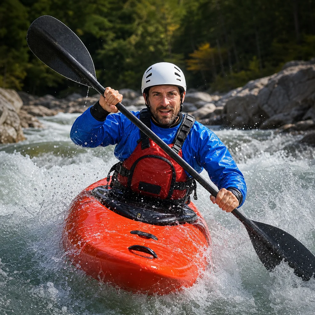
Arriving at unfamiliar water with only a map pin and a favorable forecast is an easy way to overlook the details that shape the entire trip. The launch may be private, the takeout may be inaccessible, or a modest-looking river may become hazardous after rain upstream.
You don’t need a dossier for every outing. You do need a reliable way to confirm the few conditions that can change whether a route is legal, suitable, or recoverable. A minimalist pre-trip check focuses on access, hazards, water conditions, weather, route obstacles, closures, and exit options.
Start by defining the exact trip
Before researching, write down the route you actually intend to paddle. “The north end of the lake” or “the lower river” is too vague for useful planning.
Record:
- Put-in location and access point
- Takeout location and access point
- Planned direction of travel
- Approximate distance and moving time
- Number and type of boats
- Experience level of every paddler
- Whether you’ll shuttle vehicles or return to the launch
- Backup route or alternate takeout
A route that is comfortable for a group of experienced paddlers may not be appropriate for a loaded recreational kayak, a newer participant, or a trip with no dependable rescue support. Planning becomes clearer when you match the water to the least capable paddler rather than the strongest one.
Confirm that you can legally and practically reach the water
Access is more than finding a blue line on a map. Check whether the launch and takeout are open to the public, whether parking is allowed, and whether the site can be reached with a kayak and vehicle.
Look for information from the land manager, park authority, local government, water utility, or property owner. Paddling clubs and recent local reports can add useful detail, but they shouldn’t replace the current source responsible for the site.
Check for:
- Permit, reservation, or registration requirements
- Opening and closing times
- Day-use or parking fees
- Seasonal access restrictions
- Carry distances from parking to water
- Boat ramps, shoreline launches, or launch limitations
- Locked gates or roads that close seasonally
- Restrictions on overnight parking or vehicles left at a takeout
- Private property along the route
- Whether launching, landing, or stopping on shore is permitted
A map may show a road ending near the water without showing that the road is gated, rough, flooded, or unsuitable for a vehicle carrying boats. Use satellite imagery and recent road information to understand the final approach, but treat them as aids rather than proof of current conditions.
Confirm access before loading boats: Check the responsible land manager or property authority for current launch rules, parking requirements, fees, and closures. Save the information offline so you can refer to it when cell service is unreliable.
Identify hazards before you study the scenery
Research the route for features that can turn a straightforward paddle into a rescue problem. On rivers, focus on current and obstructions. On lakes, focus on exposure, wind, waves, and the distance to shelter.
River hazards to look for
- Strainers, downed trees, and debris piles
- Low-head dams, diversion structures, and weirs
- Rapids, ledges, drops, and narrow channels
- Bridges with restricted openings
- Strong current near bends or confluences
- Irrigation structures and changing channels
- River sections that require portaging
- Limited banks or steep banks that make landing difficult
A river’s difficulty can change substantially with water level. A familiar feature may become more forceful, hidden, or difficult to scout after a rise. If a route description uses vague terms such as “technical,” “hazardous at high water,” or “not runnable,” find out what those terms mean for your group and boat type.
Lake hazards to look for
- Long crossings away from shore
- Open-water sections exposed to prevailing winds
- Narrow inlets where wind and current concentrate
- Rocky shorelines with few landing places
- Sudden drop-offs or cold-water exposure
- Boat traffic, fishing areas, and restricted zones
- Floating debris after storms
- Islands or coves that make navigation confusing
A small lake can still create serious problems if wind pushes you away from shore. Measure exposed crossings, note nearby landing options, and plan your route so you aren’t forced to complete the most open section late in the day.
Check water levels using the right reference
Water level is meaningful only when you know which gauge, measurement, or local description applies to your route. A gauge upstream may not represent conditions below a major tributary, dam, or diversion. A lake elevation may also be less useful than information about wind, current, shoreline access, or ramp condition.
For a river, identify:
- The nearest relevant gauge.
- Its location relative to your put-in and takeout.
- The current reading and recent trend.
- Any published range or local guidance for your type of paddling.
- How rain, snowmelt, or dam releases affect the section.
Don’t rely on a single number without understanding its context. Compare the current reading with recent reports, route descriptions, and local knowledge. A rapidly rising level deserves more caution than a stable level at the same reading.
For a lake, check recent water-level information where it is available, but also investigate whether low water affects ramps, shallow channels, or portages. High water can change shoreline landings, cover hazards, or make normally dry areas difficult to use.
Verify conditions on the day you launch: Recheck the relevant gauge, release information, lake conditions, and local advisories shortly before departure. Record the time of the check and define a level or trend at which you’ll postpone the trip.
Treat the forecast as a route-planning tool
The forecast isn’t just a decision about whether to get wet. It helps determine which direction to travel, how much open water to cross, and how much margin you have for delays.
Review:
- Wind speed, direction, and gusts
- Thunderstorm timing and lightning risk
- Rain totals and intensity, including upstream areas
- Temperature and expected water temperature
- Visibility, fog, and sunrise or sunset timing
- Heat, cold, or smoke conditions that affect exertion and visibility
On a lake, wind direction can make one shoreline far more comfortable than the other. On a river, rain upstream may affect your route even when the launch area is dry. Forecasts are estimates, so plan around the possibility of changing conditions rather than the most favorable prediction.
Build in a turnaround time. If wind increases, a storm develops, or the group is moving slowly, you should know when to shorten the trip without debating the decision on the water.
Map every portage and possible landing
A portage isn't simply a line around an obstacle. It is a sequence of decisions: where you land, where you carry, where you reenter, and whether the bank is usable for your boats and group.
For each required or possible portage, note:
- The approach from the water
- A safe landing area before the obstacle
- The route on shore
- Distance and surface type
- Steep slopes, mud, rocks, fences, or private property
- Whether loaded boats can be carried safely
- The reentry point and its water conditions
Mark optional landing sites too. They provide flexibility if someone is tired, injured, seasick, or uncomfortable with the next section. A landing that is technically possible may not be suitable for a group carrying heavy boats or assisting a person out of the water.
Plan exits before you need one
Your primary takeout is only one exit. Add locations where the group could leave the water early, meet assistance, or move to shore while waiting out weather.
For each exit, determine:
- Exact location and access from the water
- Whether landing is permitted
- Whether a vehicle can reach it
- Road name, gate status, and parking details
- Walking distance to help or a public road
- Cell coverage or another communication option
- The next realistic exit downstream or along the shoreline
Give each location a clear name and mark it on both a digital map and an offline backup. “The bridge” may not be enough if there are several bridges or if the shoreline is difficult to recognize from the water.
For a group trip, share the route, launch points, exits, and expected return time with someone who isn't on the water. Include the plan for what that person should do if you miss your check-in. Local emergency procedures vary, so use the appropriate emergency number and official guidance for the area.
Check closures and unusual conditions last
Even a well-known route can change because of wildfire, flooding, construction, water releases, harmful algae, hunting activity, special events, or temporary access restrictions. Search for current notices after completing your basic route plan so you can compare them against the exact places you intend to use.
Check the websites or notices of:
- Parks and land-management agencies
- Dam and water-release operators
- Local emergency-management offices
- Road and transportation authorities
- Public-health departments
- Harbor, marina, or boating authorities
- Local paddling organizations with recent observations
A social media post may reveal a fresh problem, but it can be incomplete or outdated. Use it as a prompt to locate a current official notice or contact the responsible authority.
Check for last-minute changes: Search current closure, flood, fire, water-quality, and access notices for the exact launch, route, and takeout. If the information conflicts, pause the trip until you can confirm which source has authority.
Reduce the research to a one-page trip brief
A short trip brief is easier to use than a collection of browser tabs. Include only information that affects a decision on the water:
- Route and map reference
- Launch and takeout details
- Current access status
- Water-level or lake-condition check and time
- Weather forecast and turnaround time
- Main hazards and portages
- Primary and alternate exits
- Group members and emergency contact
- Shuttle plan and vehicle locations
- Go/no-go conditions
For a trip leader, read the brief aloud or send it to every participant before departure. Confirm that everyone understands the route, likely hazards, expected pace, and the conditions that will change the plan.
A minimalist final check
Before leaving home, ask:
- Is access legal, open, and practical today?
- Do current water conditions fit the group and boats?
- Does the forecast support this route, not just paddling in general?
- Have you identified hazards that require scouting, portaging, or avoidance?
- Can you name at least one usable early exit?
- Does someone off the water know the plan and return time?
- What specific condition will make you postpone or shorten the trip?
If you can answer those questions clearly, you’ve covered the essentials without turning trip planning into an archive project. Recheck the time-sensitive details on the day of travel, keep the final plan accessible offline, and be willing to change the route when conditions no longer match your assumptions.