How to Recover After Losing Your Direction on a Familiar Lake
I’ll explain how to regain your bearings on a familiar lake with a small set of dependable steps: stop safely, confirm landmarks, use simple navigation tools, and decide when contacting help is the wiser choice.
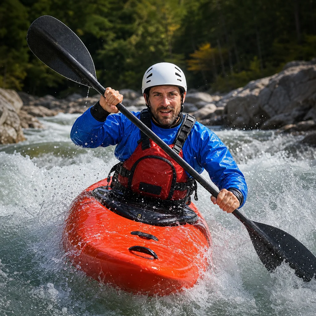
Losing your direction on a lake you know can feel strangely unsettling. The shoreline may look familiar in every direction, and the more you paddle while guessing, the farther you can drift from a reliable reference point.
The simplest recovery is usually the safest: stop, stabilize your kayak, gather information, and move only after you have a reasonable fix on your location. You don’t need an elaborate navigation system for this process, but you do need to resist the urge to solve uncertainty with speed.
Stop before you try to find your way
Stop paddling as soon as you realize that your position or route is unclear. Let the kayak settle, keep your paddle available, and take a few moments to reduce the immediate stress of the situation.
If wind or boat traffic is moving you, angle the kayak toward a safer position without committing to a new route. Stay away from narrow channels, submerged hazards, steep banks, and busy areas while you assess what happened.
Ask yourself three basic questions:
- What was my last certain location?
- Which direction was I traveling?
- What changed before the shoreline began to look unfamiliar?
Your last certain location might have been a dock, point, bridge, cove entrance, island, boat ramp, or a distinctive group of trees. It’s more useful than a general thought such as “I was somewhere along the north shore.”
Avoid repeatedly turning in place to compare shorelines. That can make your sense of direction less reliable, especially if the lake has similar-looking coves or if you’re tired.
Rebuild your position from known information
Begin with the information you’re most confident about. You may not know exactly where you are, but you can often identify a smaller set of facts:
- The direction you were traveling when you last felt oriented
- The approximate amount of time since that point
- Whether the wind, current, or waves have pushed you off course
- The side of the lake where the sun was positioned earlier
- The features you expected to pass and whether you actually saw them
Time alone is a weak navigation tool. Your paddling speed changes with wind, fatigue, stops, and boat traffic. Use elapsed time to narrow possibilities, not to calculate an exact position.
The sun can provide a broad clue, but it shouldn’t be your only reference. Clouds, changing light, tree cover, and the sun’s movement can all produce a false sense of certainty. Treat it as supporting information alongside a map, compass, or recognizable landform.
Check landmarks from more than one clue
A familiar shoreline becomes more useful when you identify a combination of features rather than relying on one impression. Look for details such as:
- A point or peninsula extending into the lake
- An island and its position relative to the shore
- A marina, campground, tower, bridge, or large building
- A distinctive gap in the tree line
- A steep slope, exposed rock face, or open field
- The shape and spacing of nearby coves
Don’t move toward the first landmark that feels familiar. Ask whether it matches at least two or three independent clues. For example, a point may look correct from one angle, but the nearby island, cove opening, and direction of the sun may contradict that assumption.
If you have a paper map, place it where it won’t blow away and rotate it to match the landscape. Compare the shoreline shape in front of you with the map rather than trying to force the map to support your first guess.
A phone map or GPS can help, but give it time to establish a position if reception or satellite data is limited. Keep the device dry and conserve battery. A location dot is useful only when you understand what map it is using and whether the map data is available offline.
Use a compass as a simple confirmation tool
A small compass is valuable because it gives you a stable reference when the shoreline is repetitive. You don’t need advanced navigation skills to use it for a basic recovery.
First, note your current heading. Then compare that heading with the direction you intended to travel and with the orientation of the lake on your map. If you’re unsure which way you came, don’t assume that turning around will automatically put you on the original route.
A compass can show direction, but it can't identify your location by itself. Use it with a map or recognizable features. Keep it away from magnetic objects that could affect the needle, such as some electronic devices, speakers, or metal equipment.
If you’re using a phone compass, check whether it needs calibration and remember that the phone’s display may be difficult to read in bright sunlight. A basic magnetic compass is often easier to use when you’re wet, tired, or trying to protect your phone’s battery.
Choose a conservative route once oriented
After you have a reasonable position, choose the route with the fewest uncertainties. That may mean returning to your last known landmark instead of continuing toward your original destination.
Follow a shoreline only when doing so is safe and when the shoreline itself leads toward a known point. A shoreline can still contain cliffs, private property, marshes, dead ends, thick vegetation, or areas where landing is difficult. Don’t enter a narrow cove simply because it looks familiar.
If you’re deciding between crossing open water and staying near shore, consider the conditions rather than applying one rule to every lake. A short crossing may be reasonable in calm, familiar conditions with a clear destination. In wind, low visibility, cold water, or heavy boat traffic, staying in a safer, more visible area may be the better choice.
Keep checking your progress. After each major feature, confirm what you expected to see. If the landscape stops matching your plan, stop again rather than continuing on momentum.
Check today’s safety options: Before paddling, confirm the lake’s current emergency contact guidance, access restrictions, boating rules, and any local advice about weather, water temperature, closures, or known hazards. Save the appropriate local contact numbers and verify that your map and navigation app work offline.
Know when to contact help
Contact help when your position remains uncertain, conditions are deteriorating, you’re injured, your kayak is damaged, or you may not reach a safe landing point before dark. Calling earlier gives responders more useful information and gives you more time to follow instructions.
Move to a safe, visible location if you can do so without increasing the risk. Keep your phone dry, conserve power, and be ready to describe:
- The lake and access point you launched from
- Your last known location
- Nearby landmarks or shoreline features
- The number of people and watercraft involved
- Your condition and any immediate hazards
- Your remaining daylight, battery, and equipment
If you’re with another paddler, stay together unless separating is clearly necessary and safe. One person can manage the map or phone while the other watches traffic, wind, and nearby hazards.
Use a whistle or other signaling device if you need to attract attention. Three repeated blasts are commonly used as a distress signal, but local practices and emergency guidance may vary. Don’t rely on shouting across a large lake or on a phone that may have poor service.
If nightfall is approaching, stop trying to make up distance through uncertain water. Secure your paddle, put on your personal flotation device correctly, use lights or reflective equipment if available, and follow emergency instructions. Staying visible and conserving energy are more important than preserving your original schedule.
Pack a minimalist navigation kit
You can prepare for this problem without carrying a large collection of specialized gear. The most useful basic kit includes:
- A waterproof or protected map of the lake
- A small magnetic compass
- A charged phone in a waterproof case
- An offline map or saved launch and destination points
- A whistle attached where you can reach it
- A personal flotation device worn while paddling
- A small light, especially for longer outings
- Drinking water and a simple way to protect yourself from weather
Before launching, take a quick photo of the map or save the route on your phone. Mark the launch point, planned stops, and likely exit points. Tell someone where you’re going and when you expect to return, using a plan that fits the current forecast and daylight.
A short orientation routine also helps. At the launch, identify the direction of your first leg, note two or three major landmarks, and check which shoreline features should appear next. This takes little time and gives you a reference before the view becomes repetitive.
Common mistakes that make disorientation worse
Continuing because the destination should be close
A destination that seems “just around the bend” can lead you through several similar coves. Stop when the expected landmark fails to appear, and reassess before adding more distance.
Trusting a single visual impression
A point, island, or building may resemble your target from the wrong angle. Confirm it with the surrounding shoreline, your heading, and the map.
Letting the phone replace preparation
A phone can lose power, become wet, lose reception, or show incomplete map data. Use it as one part of your navigation system, not the entire system.
Hiding the problem from your paddling partner
Say that you’re uncertain as soon as you notice it. Early communication makes it easier to stop together, compare observations, and choose a conservative plan.
A simple recovery checklist
When the shoreline begins to look alike:
- Stop paddling and stabilize the kayak.
- Put on or check your personal flotation device.
- Identify your last certain location and intended heading.
- Compare at least two or three landmarks with your map.
- Confirm direction with a compass or a reliable navigation device.
- Choose the route with the fewest hazards and unknowns.
- Recheck your position after each major feature.
- Contact help early if conditions, daylight, injury, or uncertainty make self-recovery unsafe.
Familiar water can reduce your caution without reducing the lake’s complexity. If you stop early, rely on several clues, and carry a few dependable tools, losing direction becomes a manageable navigation problem rather than an emergency created by continued guessing.