Why Wind Near Shore Can Feel Different From the Forecast
A forecast can look manageable while one shoreline feels sheltered and the next becomes rough, especially around trees, buildings, and narrow gaps. I’ll explain why local wind changes happen and how you can spot the calmer and more exposed sections before committing to a route.
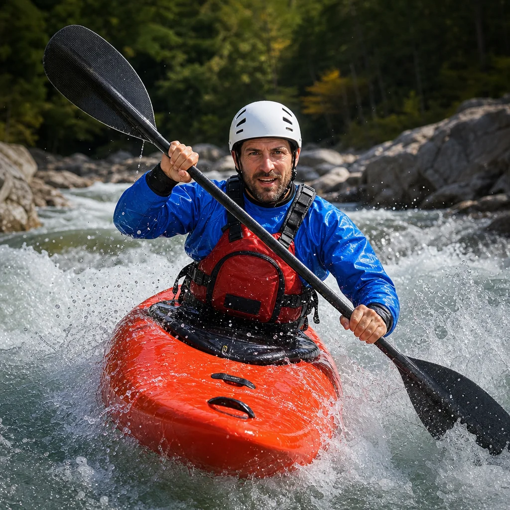
Wind forecasts are useful for planning a kayaking trip, but they describe conditions across an area rather than every cove, point, channel, or launch. A forecast may call for a moderate breeze while the water beside a wooded bank feels nearly calm—and a nearby opening may be noticeably rougher.
That difference isn’t necessarily a forecasting error. Shoreline shape, surface texture, obstacles, and temperature differences can change how wind reaches the water. Understanding those effects helps you avoid a common mistake: treating one sheltered observation at the launch as a reliable picture of the entire route.
Forecast wind is a broad starting point
Most marine and weather forecasts represent conditions over a relatively large area. The reported wind speed and direction may be measured at a station or estimated by a weather model, often at a standard height above the ground or water. Your kayak, however, is operating in a much smaller and more complicated setting.
A forecast can tell you the general wind pattern, such as wind from the southwest at 10 to 15 knots. It may not show that:
- A tall point blocks the wind on one side.
- A long, open reach allows waves to build.
- A gap between hills or buildings concentrates airflow.
- Trees create a patchy wind shadow near shore.
- An afternoon temperature difference changes wind direction near a lake or coast.
Forecast wind speed is also usually an average or sustained value. Gusts can be substantially stronger. A calm-feeling launch doesn't rule out brief, forceful gusts farther along the shoreline.
Check the exposed section: Before launching, compare the forecast direction with the most open part of your planned route. Confirm current wind, gusts, waves, and warnings through a reliable local marine or weather source, then be prepared to turn back if the exposed water is beyond your comfort level.
How shoreline shape changes the wind
Points and headlands can create shelter—and turbulence
A point, bluff, or headland can block wind from a particular direction. The shoreline immediately behind it may feel relatively calm. This is a wind shadow, and it can be useful when you’re looking for a less exposed route.
The effect usually has limits. As wind flows around the end of the landform, it can become disturbed and variable. You may paddle from smooth water into short gusts or confused ripples within a short distance. The wind can also strike the outside of the point directly, producing more waves than you saw in the protected cove behind it.
A shoreline that looks like one continuous bank on a map may therefore include several different paddling environments: a sheltered pocket, an exposed corner, and a turbulent transition zone.
Curves and coves change wind exposure by direction
A cove isn't automatically protected. Its usefulness as shelter depends on the wind direction and the shape of its entrance. A narrow, winding inlet may block wind from one direction but funnel it from another.
If the wind blows directly into a broad cove, the water inside may be rougher than expected. If the wind comes from behind the surrounding land, the cove may be calm. The same location can feel completely different on another day without any change in the forecast speed.
When reviewing a route, ask which way the cove opens. A map or satellite image can help, but it won’t always show low cliffs, dense vegetation, seasonal leaves, or small channels that influence the airflow.
Trees and buildings create uneven wind shadows
A line of trees or buildings can reduce wind near the shoreline. That often creates a calmer strip of water, but it doesn’t produce a perfectly stable boundary. Air flows over and around obstacles, and the resulting gusts can be irregular.
Behind tall trees, you might notice light wind close to shore and stronger gusts just beyond the protected strip. A kayak can move repeatedly between these zones as the shoreline bends. This may feel more difficult than a steady breeze because the pressure on your paddle and boat changes without much warning.
Buildings can have a similar effect. A large structure may block wind on one side while directing air around its corners. Streets, gaps between buildings, and open lots can act as pathways for stronger airflow. Waterfront parks and marinas may feel calm because of nearby structures, while the open shoreline just outside the harbor is much more exposed.
Don't assume that a protected launch represents the conditions beyond the breakwater or tree line. Treat the shelter as local and temporary unless the route remains protected by similar terrain.
Gaps can accelerate the wind
Wind often becomes more noticeable where it passes through a gap between landforms or structures. A narrow valley, cut, channel, or opening between islands can concentrate airflow. This is sometimes called a funneling effect.
The result may be stronger wind in the gap than on either side. The wind direction may also become more aligned with the channel, even if the broader forecast comes from a slightly different angle.
For a paddler, a funnel can create several problems:
- The wind may become a headwind or tailwind suddenly.
- Gusts may arrive in pulses rather than as a steady flow.
- Waves may line up along the channel.
- Turning across the wind can require more control.
- Returning through the gap may be harder if conditions build during the trip.
Look for these features on a map before launching. Gaps between islands, bridge openings, narrow harbor entrances, and low passes near the water deserve particular attention. If you can’t identify a protected alternative, make the gap a turnaround point rather than assuming it will be easy to cross.
Fetch determines where waves have room to build
Wind speed is only part of the wave picture. Fetch is the uninterrupted distance over which wind blows across open water. Longer fetch generally gives waves more room to grow, although depth, shoreline shape, wind duration, and local obstacles also matter.
A shoreline can feel calm when the wind is blowing along the land or toward nearby shore. The same wind may produce larger, more organized waves across a broad lake or bay. When your route turns away from shore, you may leave the short-fetch water and enter a reach with much more wave development.
This explains why a forecast that seems modest can still produce uncomfortable conditions in an open crossing. The water may not be rough at the launch because nearby land has limited the available fetch. Once you paddle beyond that protection, the wave pattern can change.
Before crossing open water, identify where the wind has the longest uninterrupted path. Consider not only the route you intend to follow but also the distance across the water upwind of you. A beach with a long open bay behind it may be more exposed than a similar beach facing a cluster of islands.
Thermal effects can change local wind patterns
Temperature differences between land and water can influence wind near shore. During the day, land may warm faster than the water, causing air to rise over land and drawing cooler air inland from the water. In other conditions, especially after sunset or overnight, the direction can reverse as land cools more quickly.
These local breezes are commonly described as sea breezes or lake breezes, but their timing and strength vary. They depend on factors such as the temperature difference, cloud cover, background wind, shoreline orientation, and the size of the water body.
A thermal breeze may be weak or barely noticeable when the larger-scale wind is already strong. It can be more apparent on sunny, relatively light-wind days, when the local circulation has room to develop. It may also arrive later in the day, making a return trip harder than the outward leg.
For planning purposes, don’t rely on a simple rule such as “the wind always blows toward shore in the afternoon.” Use the forecast trend, local observations, and the timing of your trip together. If the route becomes more exposed later in the day, plan your turnaround early enough to preserve an easy return.
Common mistakes that make local wind surprising
Judging conditions only at the launch
A sheltered beach, cove, or marina can hide the conditions on the main body of water. Walk to a visible point or overlook if possible, and look for whitecaps, wave direction, moving branches, and spray on exposed water.
Reading only the sustained wind number
Gusts matter, particularly when you are close to rocks, docks, cliffs, or other hazards. A wind range with a high gust value deserves more caution than the lower sustained number alone suggests.
Assuming land always blocks the wind
Land blocks wind from some directions and can funnel or redirect it from others. Check the shoreline’s orientation instead of treating every bank as shelter.
Ignoring the return trip
A route may feel easy with the wind behind you and much more demanding on the way back. Consider how the wind could affect your return after several hours on the water, including the possibility that a thermal breeze or changing weather will strengthen local conditions.
Crossing from shelter to exposure without a transition plan
An open crossing should have a clear decision point. Before leaving protected water, ask whether you can comfortably paddle back, land at an alternative location, or wait for a change without being forced farther offshore.
A simple way to assess a route
Use this sequence before and during the trip:
- Identify the broad wind direction. Note both sustained wind and gusts, and check whether warnings or advisories apply to the area.
- Mark exposed sections. Look for open bays, points, island crossings, wide channels, and shorelines facing into the wind.
- Find possible shelter. Note coves, lee shores, protected channels, beaches, and safe landing areas.
- Look for funnels. Pay attention to gaps, bridge openings, narrow channels, and valleys aligned with the wind.
- Estimate the fetch. The longer the open-water distance upwind, the more carefully you should consider wave development.
- Compare the conditions at different viewpoints. If the launch is calm but open water shows whitecaps or frequent gusts, trust the more exposed observation.
- Set a turnaround rule. Decide in advance what wind, wave, visibility, or fatigue change will end the outing.
You don’t need to predict every gust precisely. The goal is to recognize where conditions are likely to change and avoid committing to the most exposed section without a reasonable exit plan.
Practical next steps
For your next outing, study the route’s shoreline orientation before you leave. Circle the places where the water opens up, where land narrows into a gap, and where you’ll move from tree or building shelter into open water. Check the forecast close to launch time, observe the most exposed visible water, and treat local shelter as temporary rather than universal.
If conditions are already near your limit at the protected launch, choose a shorter route with more landing options. A forecast is a valuable planning tool, but your safest decision comes from combining it with the shape of the shoreline, the changing fetch, and what the water is showing you right now.